
Image Mapping
Color data values from images are applied to control the surface color and geometry in the following examples.
Mapping a 2D image onto a spherical surface.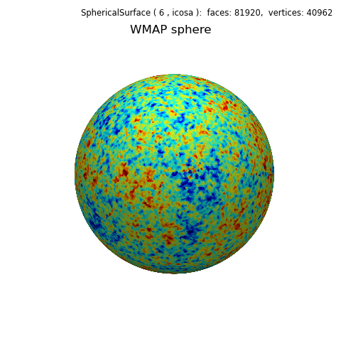
Spherical Image Mapping
Mapping a 2D image onto a disk and cylinder.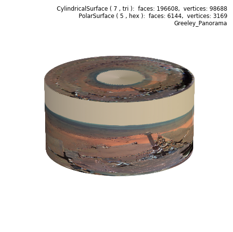
Polar and Cylindrical Image Mapping
Image mapped to a section of a spherical surface.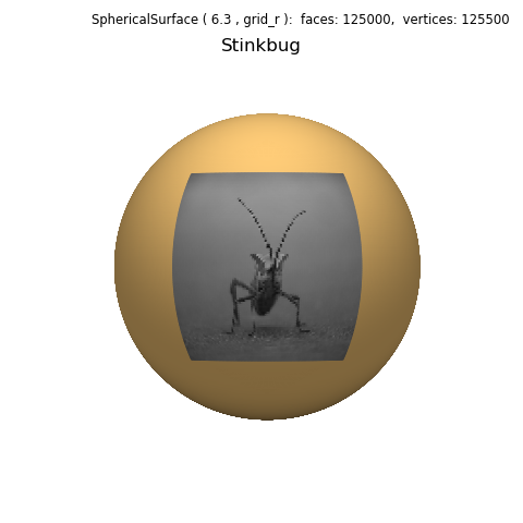
Mapping to a Viewport
Image mapped to a section of a spherical surface which is then geometrically mapped.
Function and Image Mapping
Two examples of geometric mapping using either Hue or Value obtained from an image.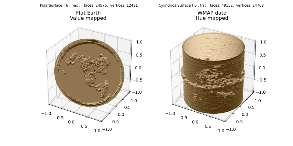
Image Geometric Mapping
Image Color mapping and Geometry mapping are combined with additional shading.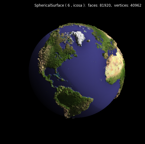
Geometric and Color Image Mapping
Use of color value for surface clipping.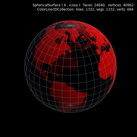
Image Value Clipping
Two images are used, one for colormapping and the other for geometric mapping.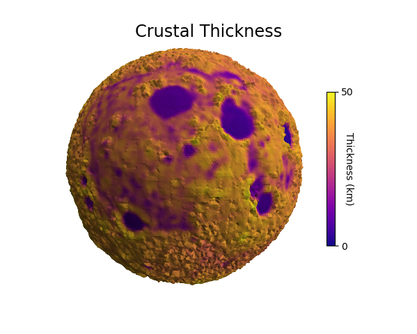
Data Colormap Modification
Just for fun.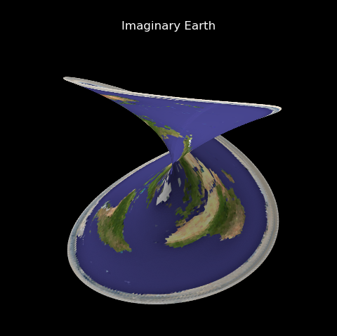
Imaginary Earth
Mapping to four different coordinate systems.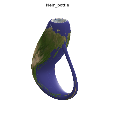
Earth Klein